Survey for cadastre, Province di Florence
- Drone class B - DJI Mavic, Phantom o simili
- Model DJI Phantom 4
- Location Province of Florence
- Flight time 2 hour
- Post-production 48 hour
Customer
Surveyors studioProblem
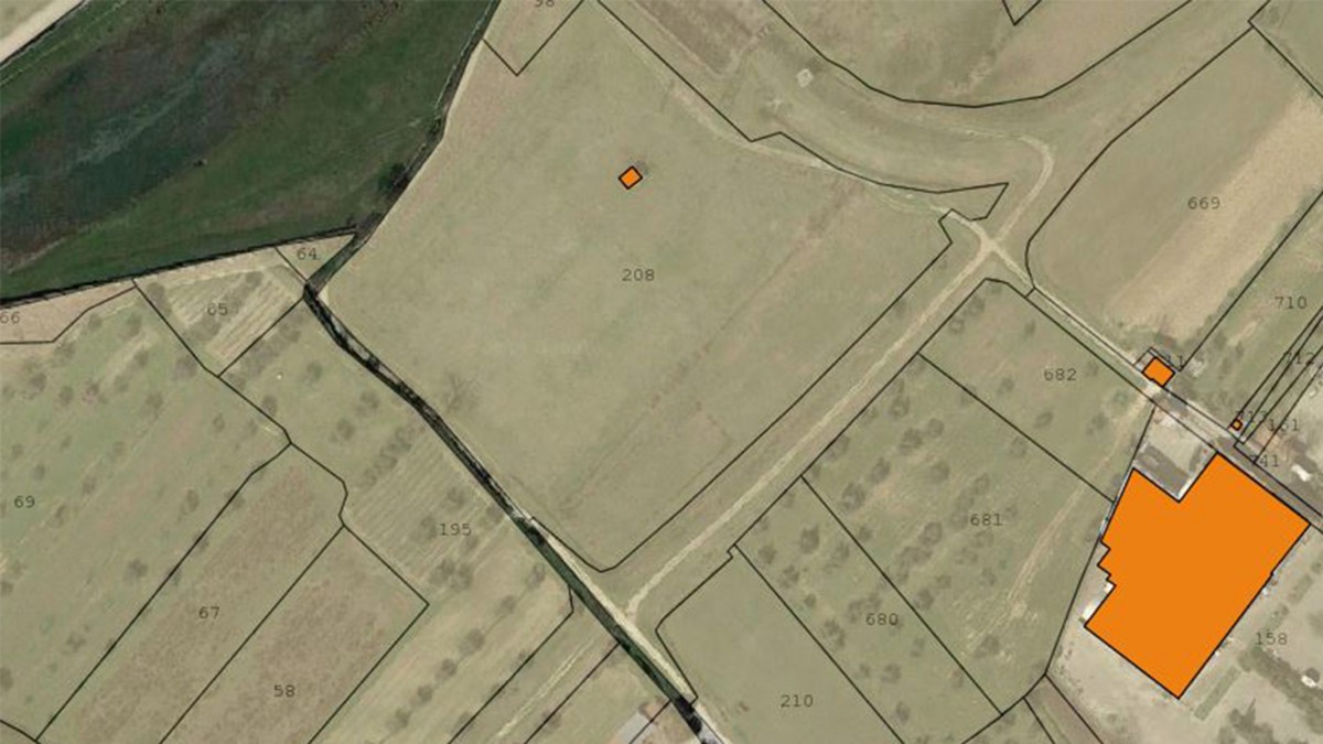
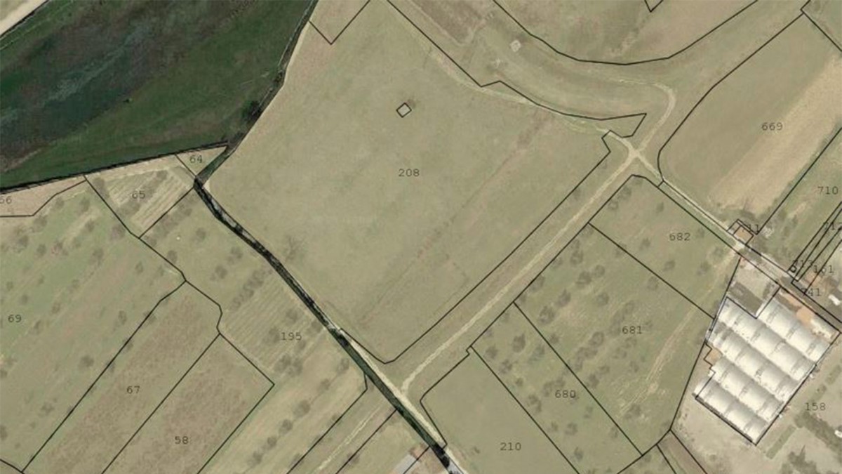
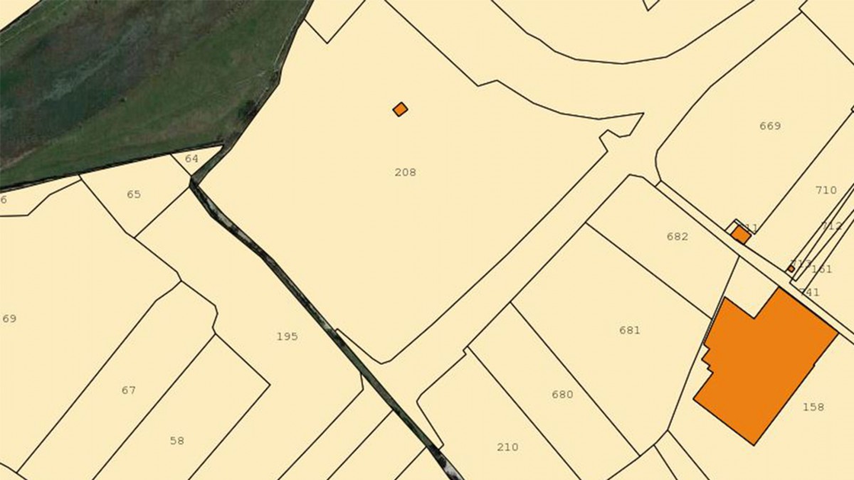
A customer expert in topography and land registry, has requested our service for a cadastral updating practice later a sale of land. In this
cases it may be useful to have in place graphic products upgraded that allow to identification the details of territory in order to perform surveys and precision measurements.
Drone solution
Our photogrammetric surveys by drone can be integrated with precision surveys, carried out with other instruments. A detailed and precise orthophoto of the areas of the particles can speed up the analysis and understanding of the territory under survey. Furthermore, the supplied products can be imported into CAD and GIS environments for further processing. Our service has been integrated to the best with the equipment and the needs of our customers. I nostri rilievi fotogrammetrici tramite drone possono essere integrati con rilievi di precisione, effettuati con altri strumenti. Un’ortofoto dettagliata e precisa delle zone delle particelle può velocizzare l’analisi e la comprensione del territorio oggetto del rilievo. Inoltre i prodotti forniti possono essere importati in ambienti CAD e GIS per ulteriori elaborazioni. Il nostro servizio si è integrato al meglio con la strumentazione e le esigenze del nostro clienti.